Land use planning to support an agro-ecological transition in small watershed areas
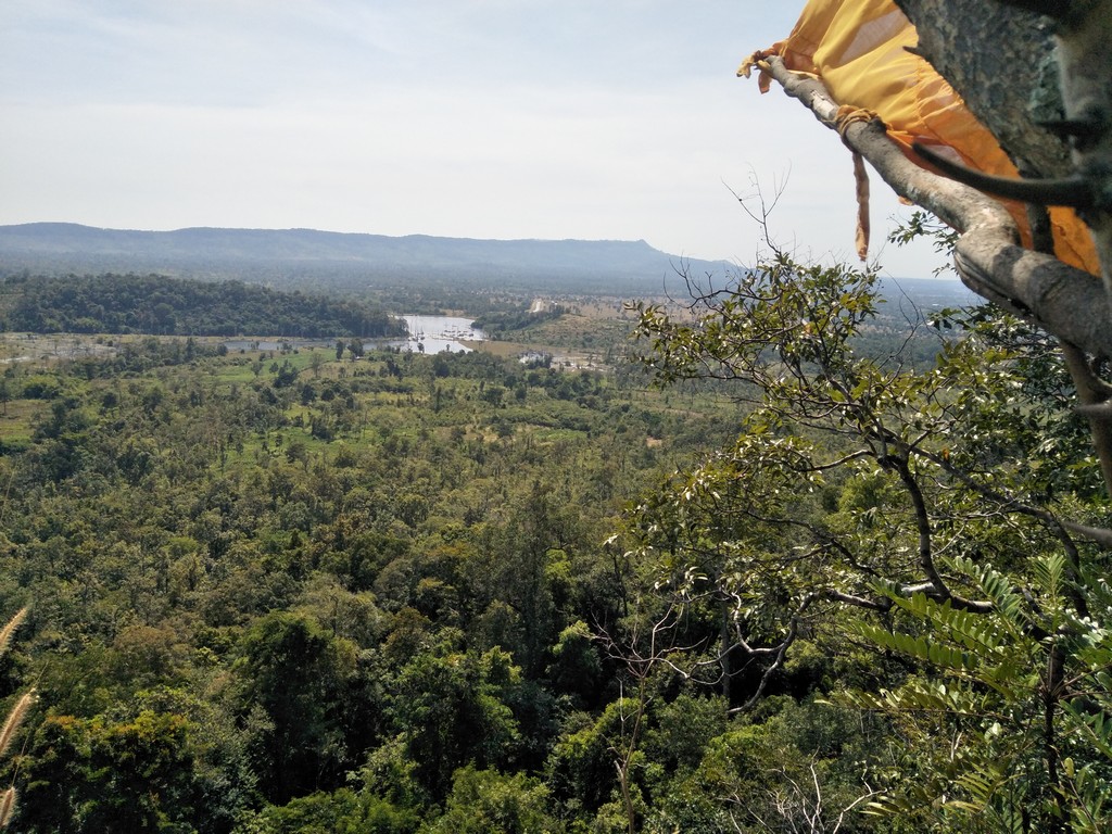
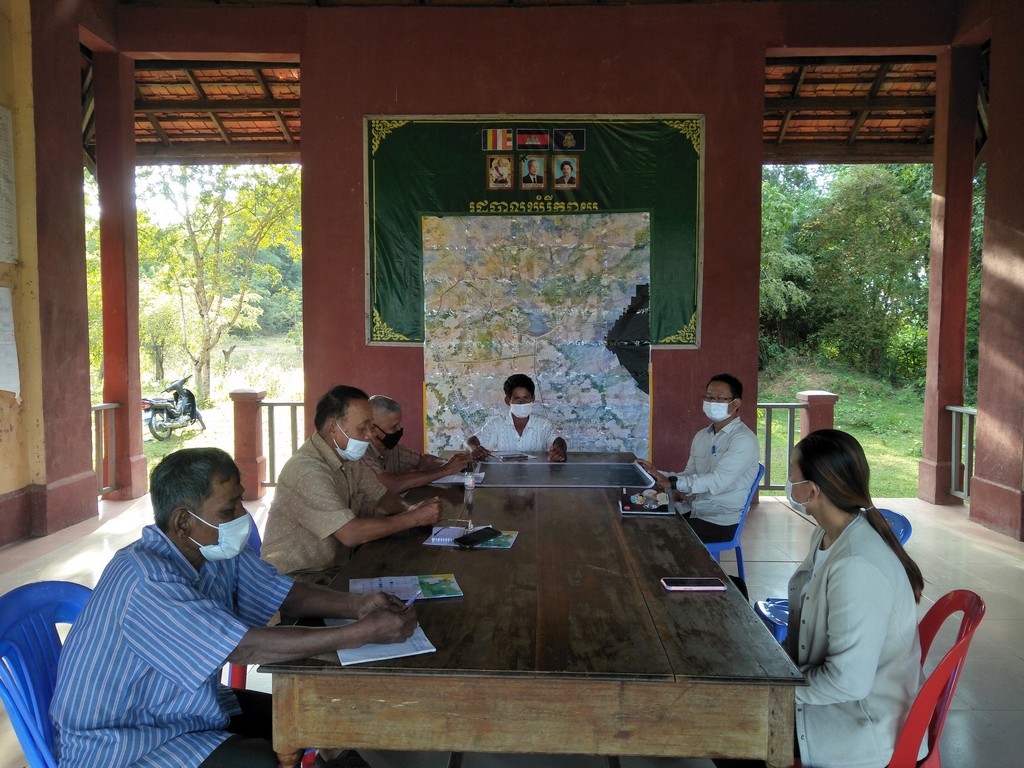
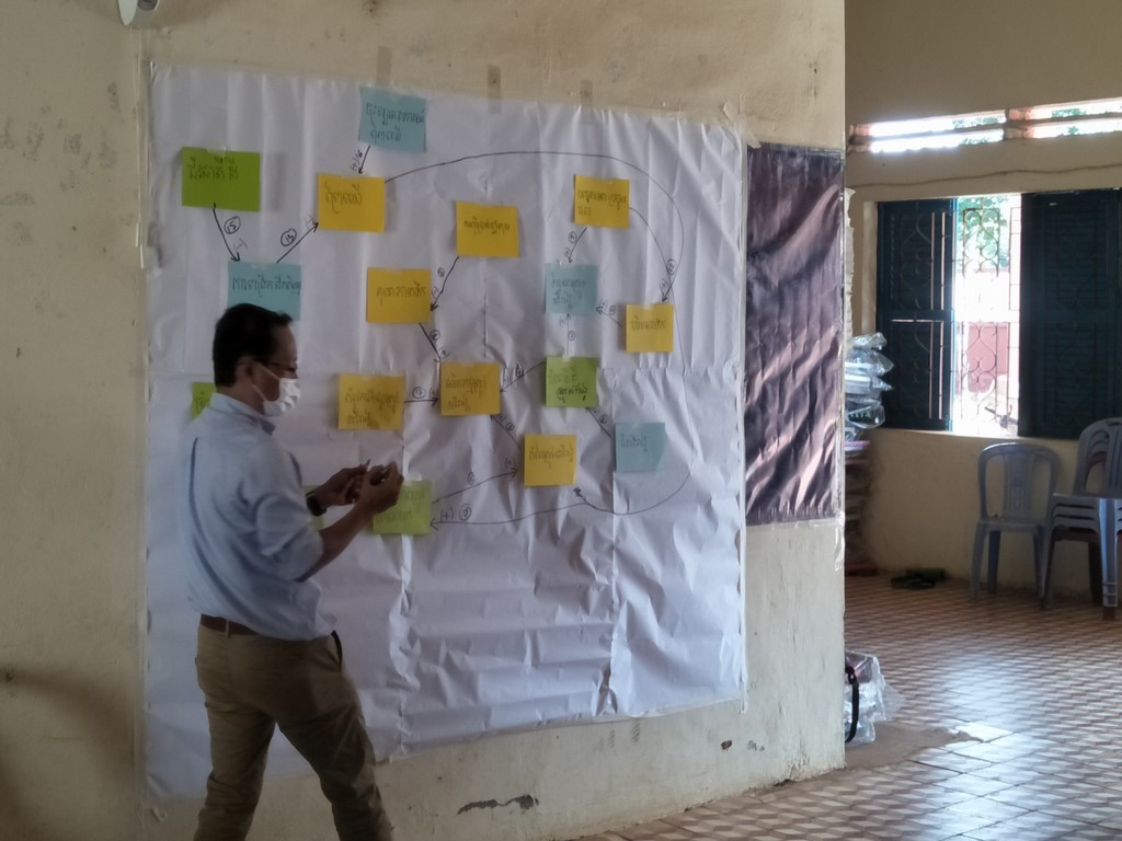
Description – The overall goal of this assignment is to lay a foundation for the upcoming interventions in the Cambodian flagship area of the ASSET project (Rovieng district, in Preah Vihear province). Based on a multi-stakeholder and multi-sector consultation, the study aims to identify and elicit different scenarios to support a transition to agro-ecological landscapes through the development of a community-based and agro-ecology enhancing commune land use plan
Role – Researcher and facilitator
Period – 2021-2022
Location – Cambodia (fieldwork in Preah Vihear province)
Partnership – CIRAD (the French Agricultural Research and International Cooperation) and the ASSET project (Agroecology and Safe food System Transitions in Southeast Asia)
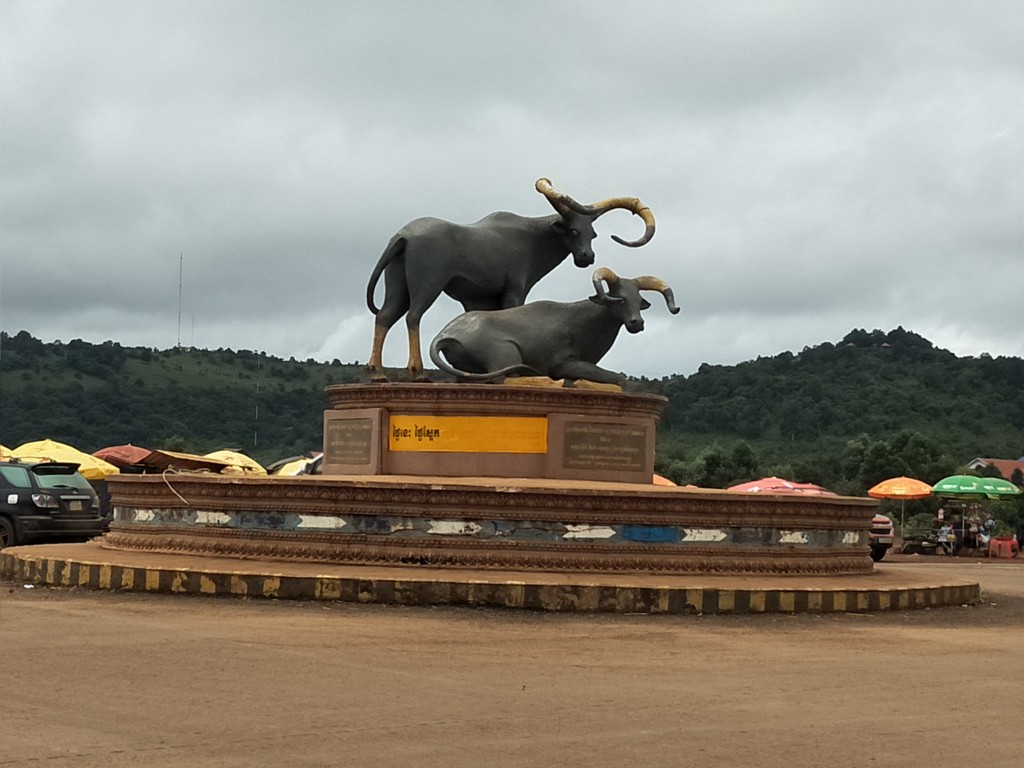
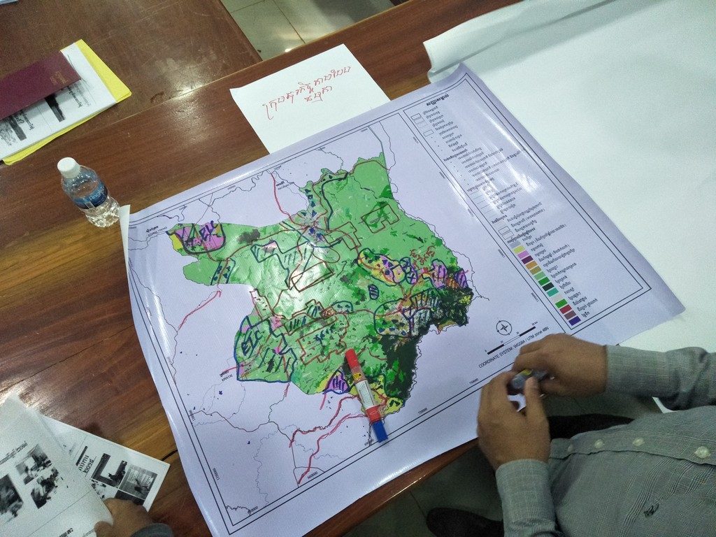
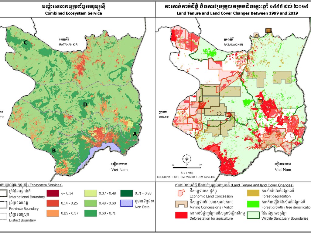
Spatial planning in Mondul Kiri province
Description – The protected areas that occupy most of Mondul Kiri province are facing tremendous pressures from different development stakeholders (involved in agro-industries, mining, illegal logging and tourism). The project aimed to identify the trade-offs between development and nature conservation and to address them in a cross-sector spatial plan at the provincial level. In addition to technical support, project participants provided capacity development services for the provincial government and conducted wide provincial consultations at district, provincial and national levels
Role – Team leader
Period – 2020-2021
Location – Cambodia (fieldwork in Mondul Kiri)
Partnership – WWF Cambodia and MLMUPC (Ministry of Land Management, Urban Planning and Construction)
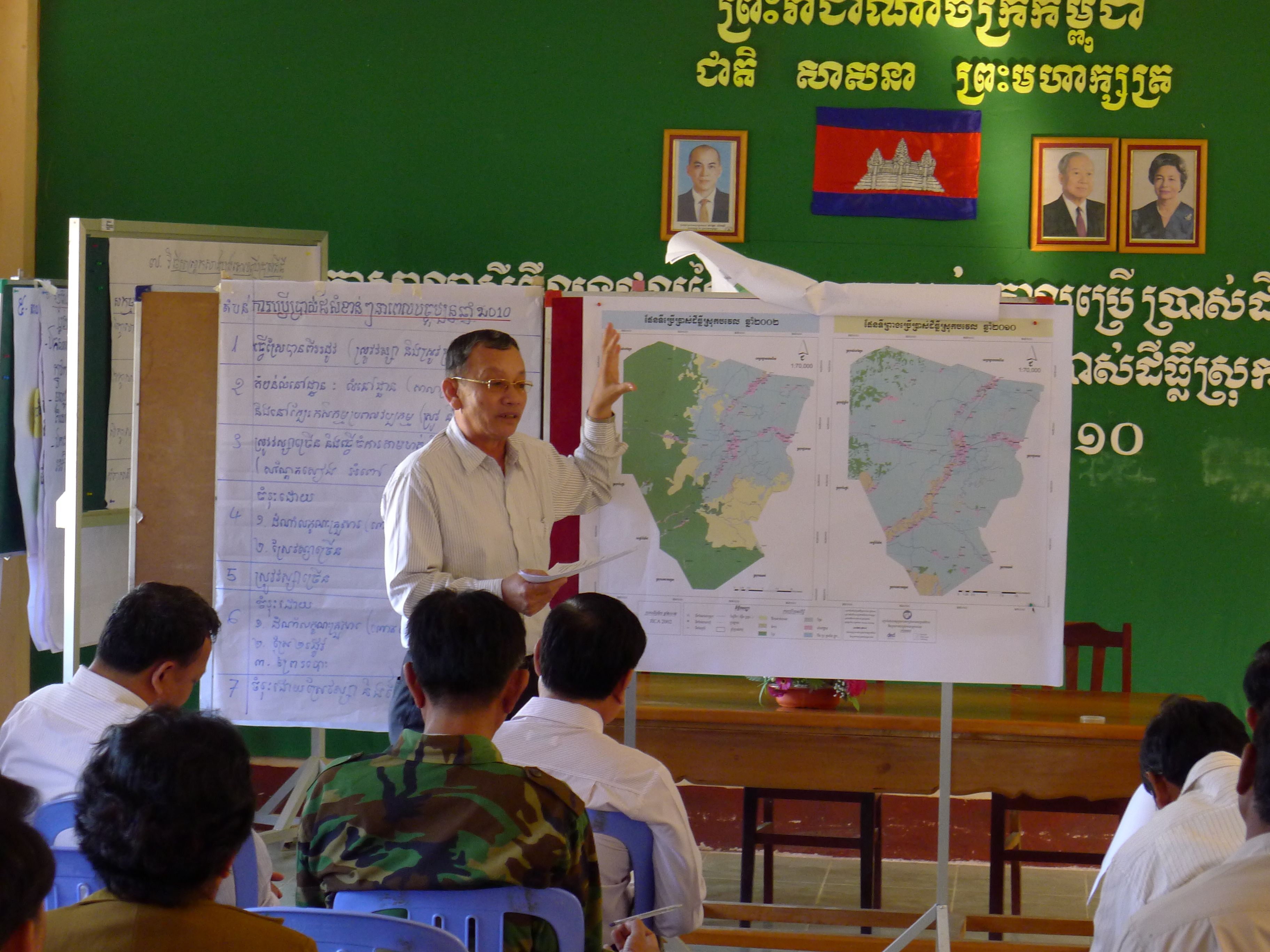
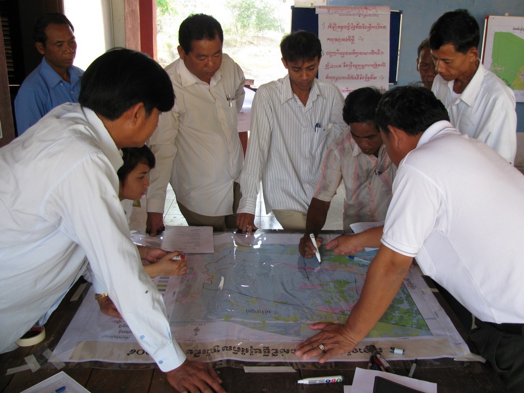
Piloting and developing spatial planning practices and policy in Cambodia
Description – In line with the newly formulated decentralisation and de-concentration policies, the project piloted multi-level spatial planning in Battambang province. This included methodological design, capacity development and technical backstopping. The initiative supported the design of the national Spatial Planning Policy. It was then expanded to other provinces, districts and municipalities across the country. Based on these experiences, the team developed spatial planning handbooks for provincial use, and district/municipal land use master plans that are now used widely across the country
Role – Advisor
Period – 2007-2015
Location – Battambang, Kampong Chhnang, Takeo and Kandal provinces
Partnership – GIZ (German Technical Cooperation) and MLMUPC (Ministry of Land Management, Urban Planning and Construction)